Image
The project e-shape is a unique initiative that brings together decades of public investment in Earth Observation and in cloud capabilities into services for the decision-makers, the citizens, the industry and the researchers.
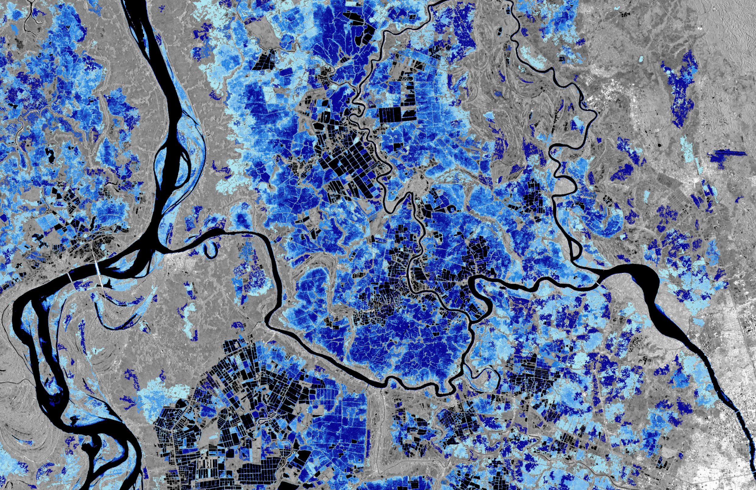
One of its pilot studies aims to produce an Earth Observation-derived water bodies and floodwater record and a first demo data set is available here. We need your feedback on the usefulness of the 4 baseline products and to know about your ideas for future developments by filling out a questionnaire here. Based on the feedback received the baseline products will be refined and new ones based will be generated.
- Log in to post comments